
On the bike: phone and tablet
Navigation, the roadbook, the alerts and what to do if you go off route or the way is blocked.
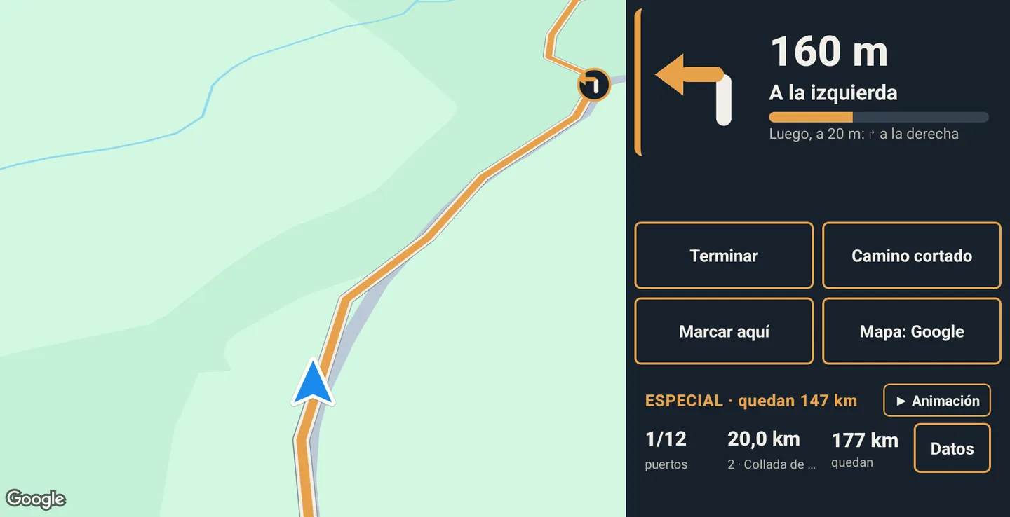
The Odín Rally app goes in the bike mount: on a phone, upright; on an Android tablet, landscape, with the map on one side and a column with the data on the other. While you ride it records your ride: that is what counts for your territory. The screen stays on during the route, so keep the phone charging. The screenshots show the app in Spanish; the names of the buttons and screens below are the ones you see in the app in English.
Navigation
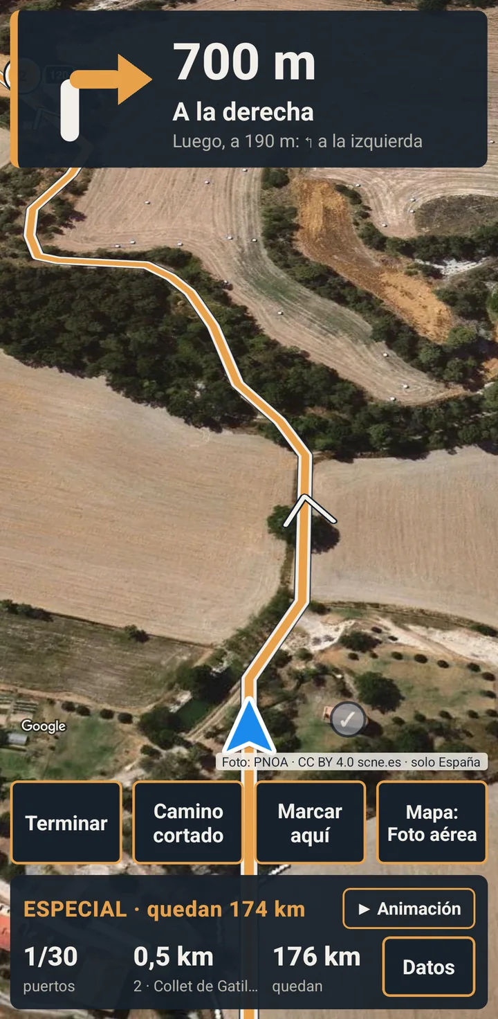
- A map that follows you, with an arrow where you are and the route ahead.
- The roadbook: the next manoeuvre with a big arrow, the distance and the road («↱ 300 m · Turn right · C-17») and the one after in small; at roundabouts, which exit to take.
- A strip with the stretch you are on and what is left: «SPECIAL STAGE · 86 km to go».
- An alert when the stretch changes: «The special stage starts», «End of the special stage»…
- In «Data»: passes done and left, points, km and the next fuel station.
Sound and voice come switched off: turn them on in «Settings». With voice on, the app calls out the manoeuvres.
The alerts
Passes
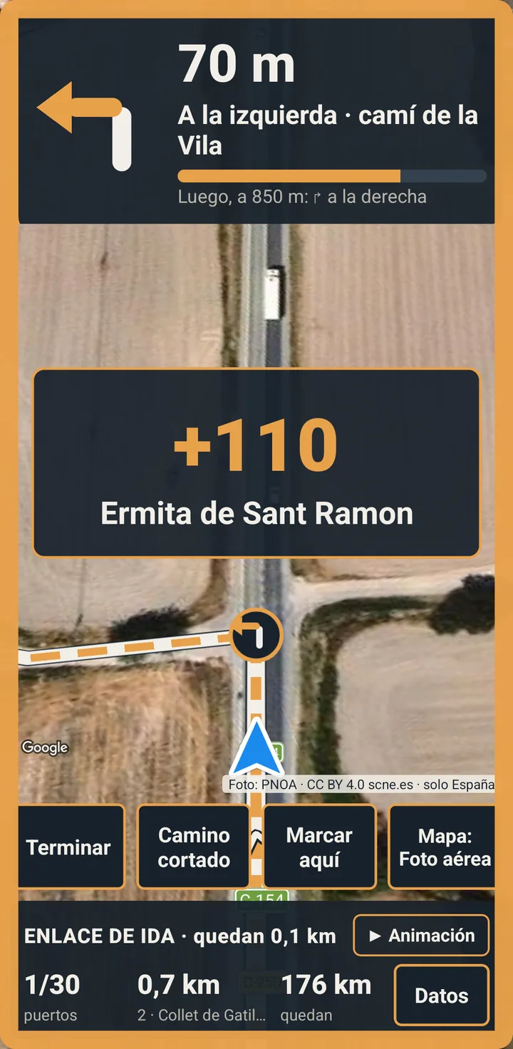
When you ride over a pass, the screen flashes an amber border and shows «+points · name» (and a chime, if you turn it on). The next pass is shown bigger, with its number.
Fuel stations
On the map and, in «Data», how far to the next one.
Barriers and closures
A sign 300 m before a barrier or closure the map shows, with what the map says. If it is closed, you do not go through.
If you go off route or the way is blocked
Back to the route
If you go off route, after a few seconds the app draws a blue path back to it. And if you start far from the start point, it takes you there.
«Road closed»
At a chain or a closed way, press «Road closed»: it looks for another way that rejoins the route beyond the blockage without going through it. If there is none without skipping a pass, it tells you which one you skip. The blockage is noted so the map can be fixed.
«Head back now by road»
If you run out of time, it takes you to the finish by road, even on an off-road route.
«Mark a map error here»
One tap saves the spot of a closed track, a misplaced pass or anything else; the details, later.
When you finish
When you press «Finish», you choose whether to upload the ride. If you do not, it stays on the phone only and does not count for your territory; you can upload it later. While you record, your ride does not leave the phone (except your position, if you share it with your group).